AQI
161
Average Nightly Rate : 2300

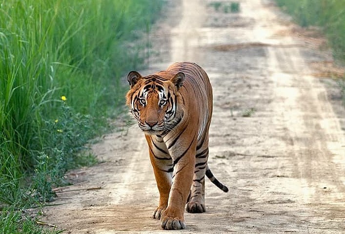
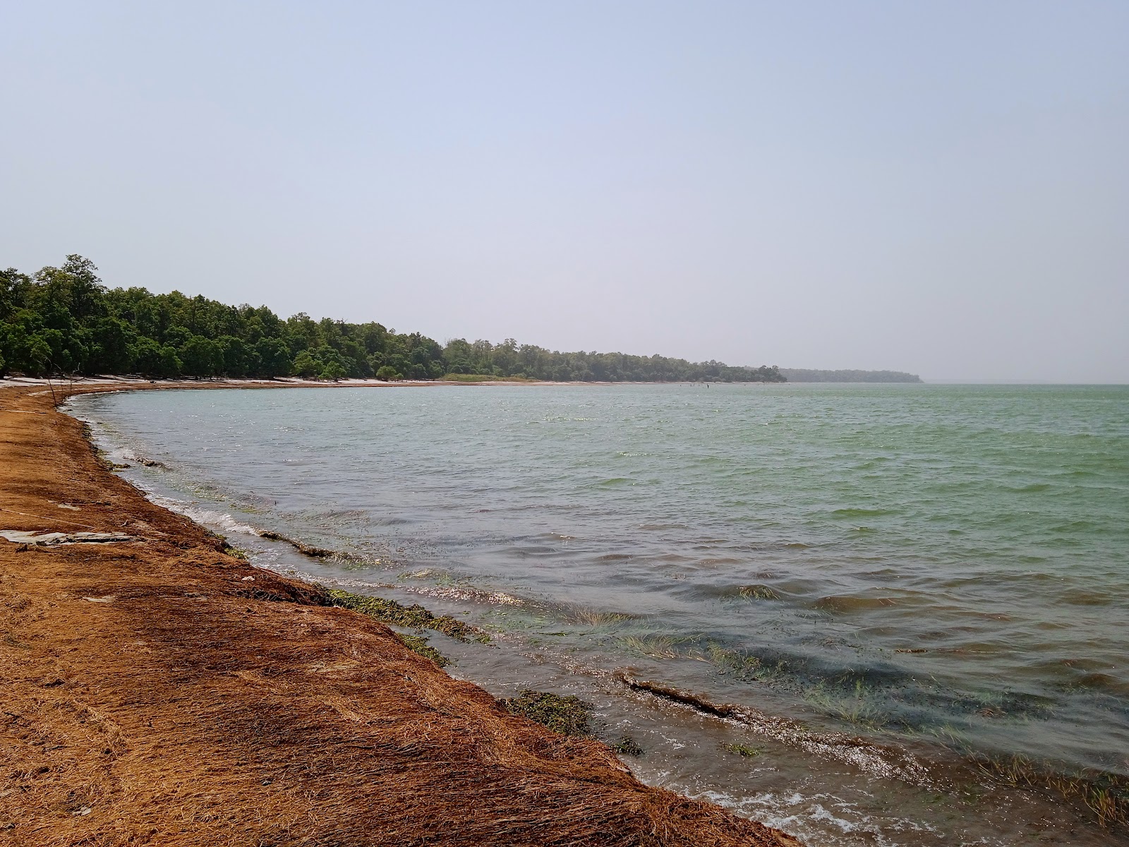
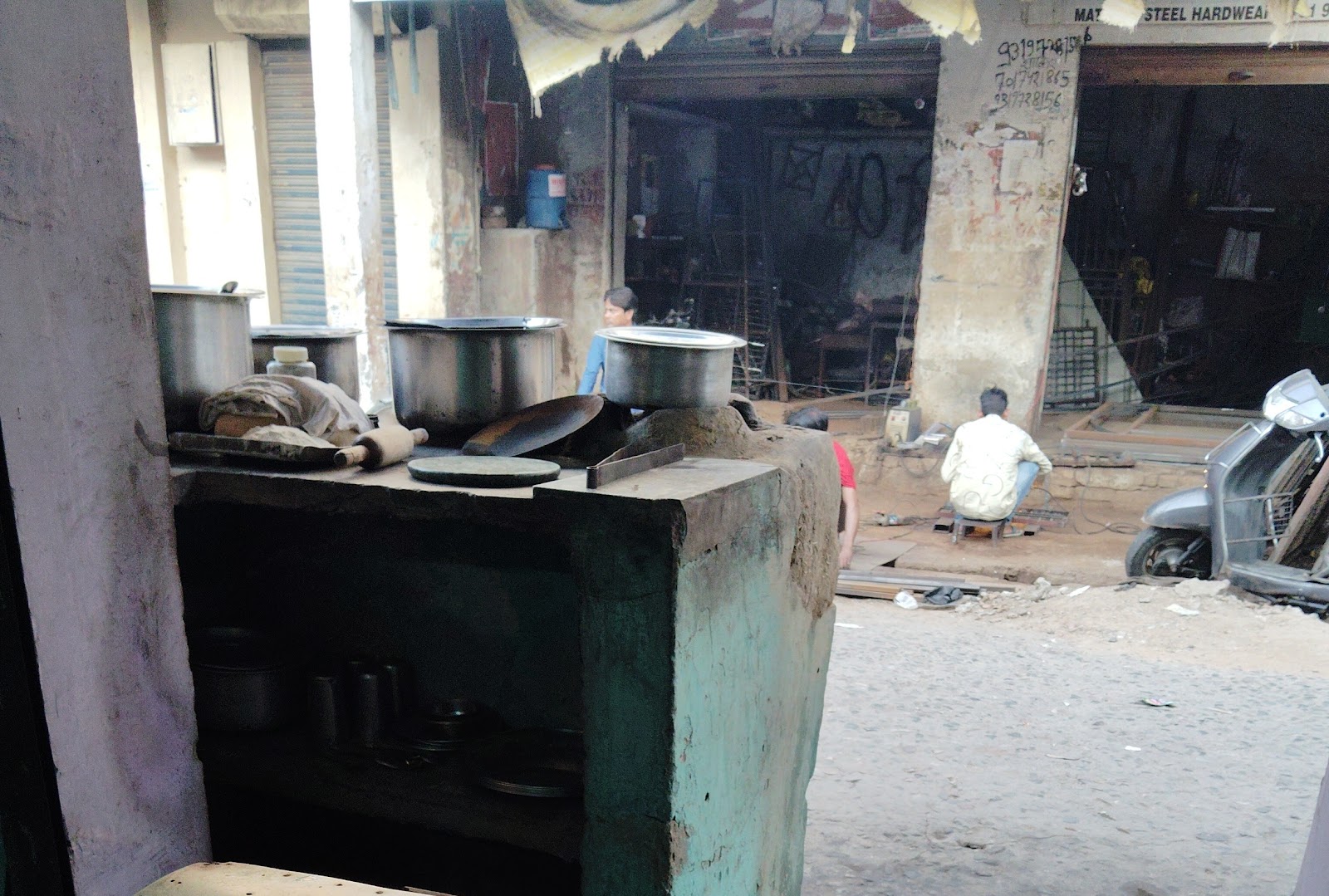
Pilibhit is a city and a municipal board in Pilibhit district in the Indian state of Uttar Pradesh. It is the headquarters of the Pilibhit district. Pilibhit lies in the sub Himalayan belt, known for its lush green forests, diverse wildlife, and fertile plains. It's a blend of rural charm and burgeoning development, offering a glimpse into authentic North Indian life. The city is known for its sugarcane production and the Pilibhit Tiger Reserve, a significant conservation area for the Bengal tiger.
October to March (winter months). The weather is pleasant and ideal for outdoor activities and wildlife viewing. Summers (April to June) are extremely hot, and the monsoon season (July to September) brings heavy rainfall, making it less suitable for travel.
2 days 3 days
2-3 days is generally sufficient to explore the major attractions of Pilibhit and the surrounding areas.

_pilibhit_uttar_pradesh_india.jpg)


The nearest airport is Pantnagar Airport (PGH) in Uttarakhand, about 100 km away. From the airport, you can hire a taxi or take a bus to Pilibhit.
Pilibhit is accessible by road from nearby cities. Road conditions are generally good.
Pilibhit is accessible by road from nearby cities like Bareilly, Lakhimpur Kheri, and Shahjahanpur. State-run buses and private taxis are readily available. The road conditions are generally good.
Pilibhit Junction (PBE) is well-connected to major cities in Uttar Pradesh and other parts of India. Check the train schedules and book your tickets in advance.

Distance : 51 KM (approx)
Rating : 4.2
Popularity Score : 4.2
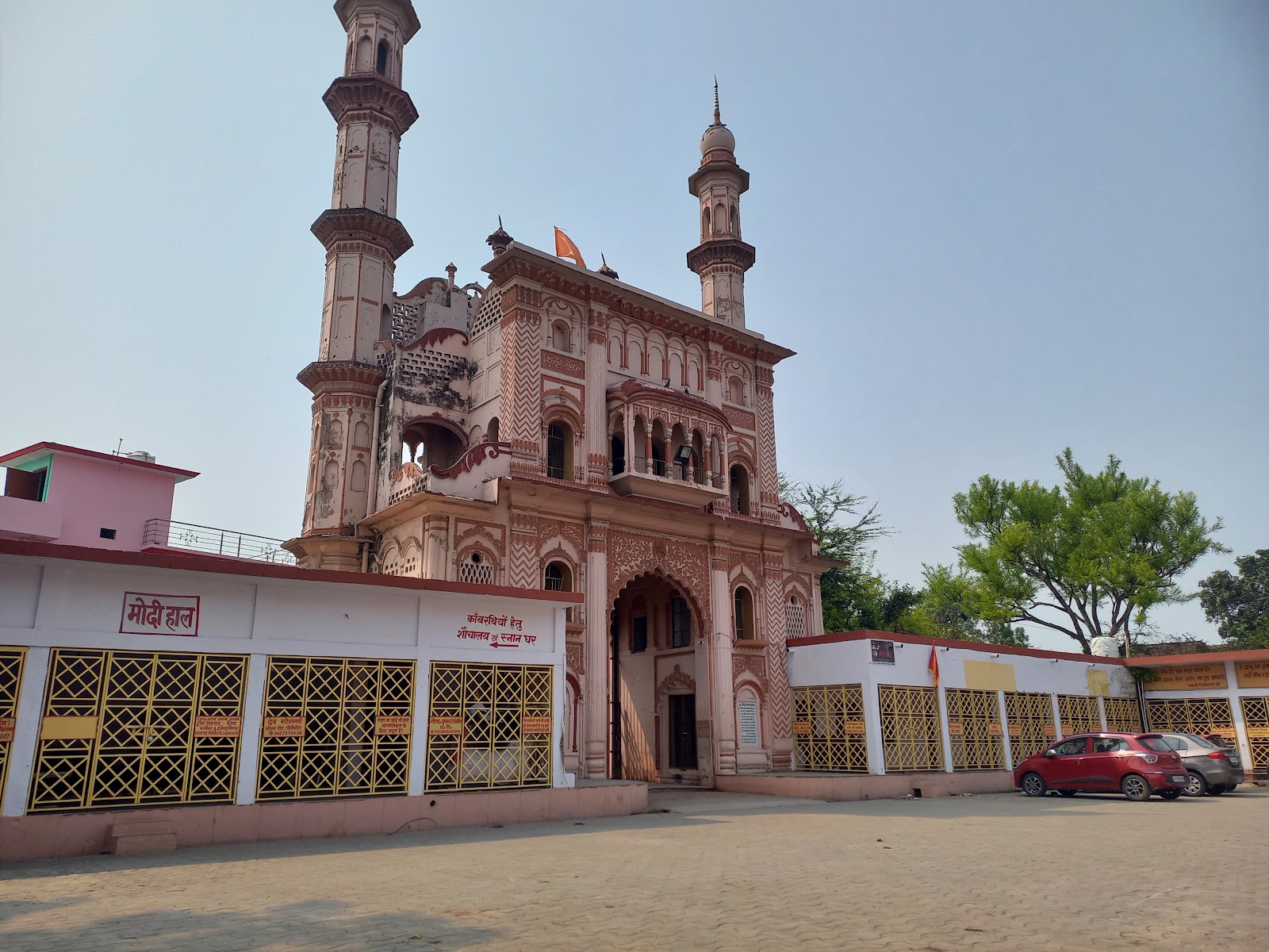
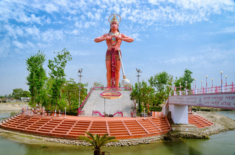
Must Visit : Alakhnath Temple, Jagannath Temple, Trivati Nath Temple
Distance : 85 KM (approx)
Rating : 3.9
Popularity Score : 3.9
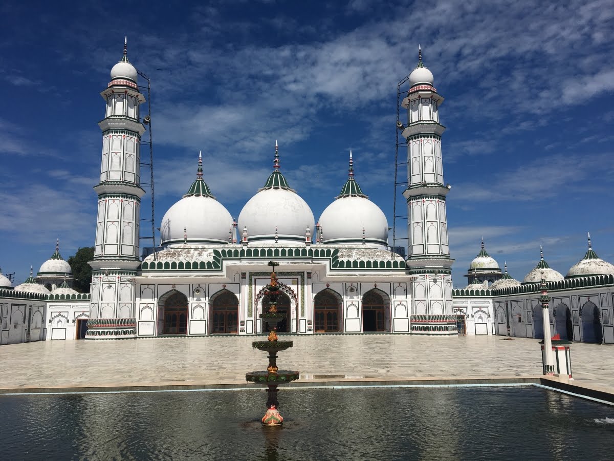
Must Visit : Shaheed Ashram, Badi Masjid, Jama Masjid
Coordinates: Latitude 28.6403, Longitude 79.8364 (Pilibhit, Uttar Pradesh, India)