AQI
64
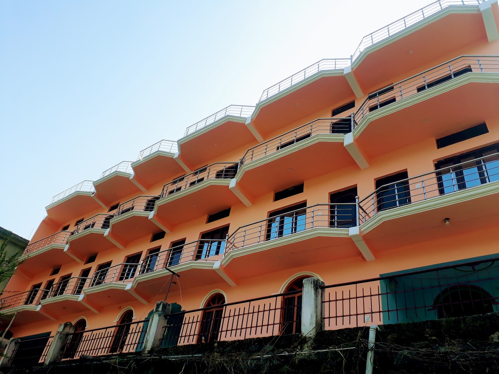
Average Nightly Rate : 3000
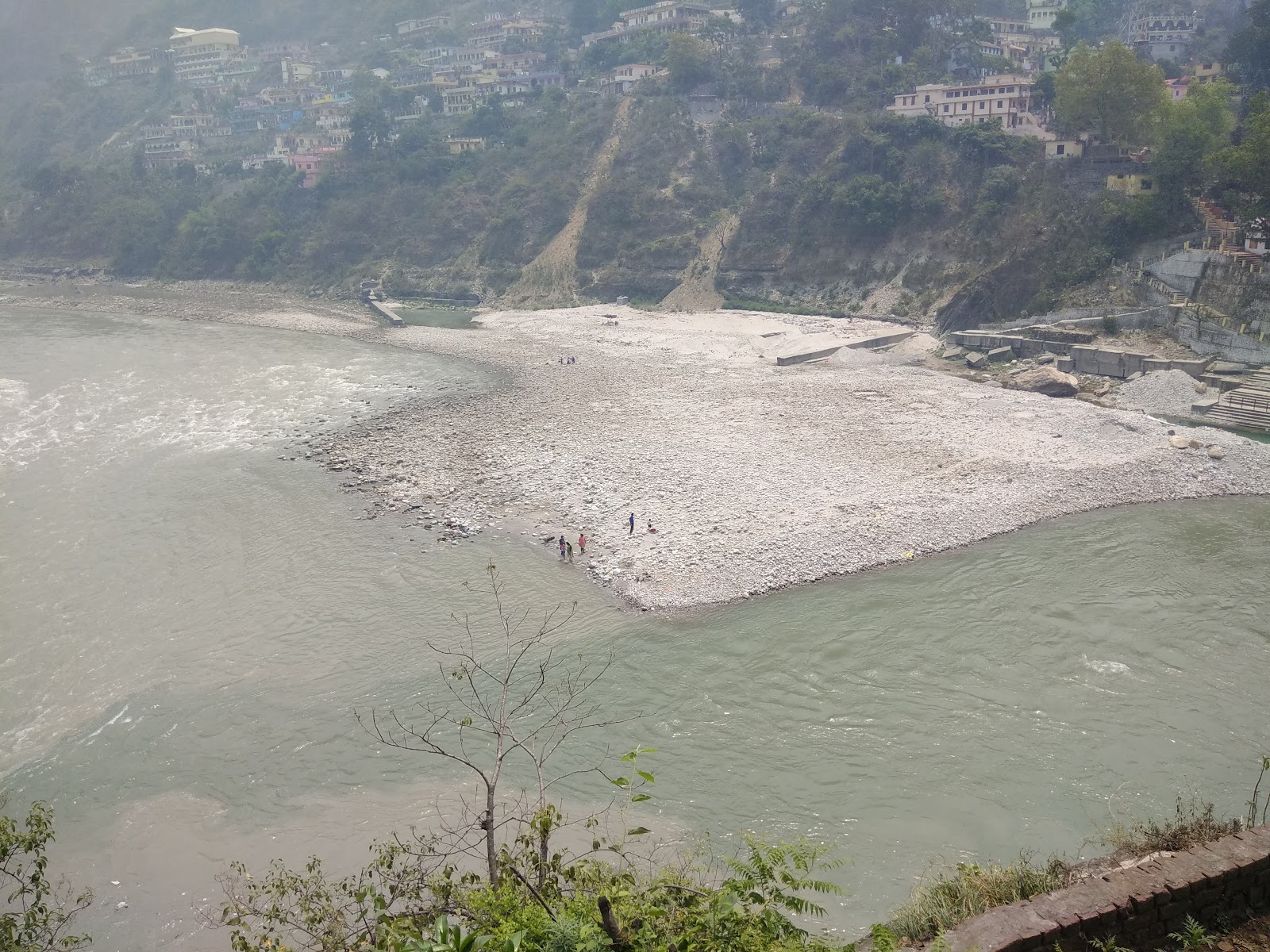
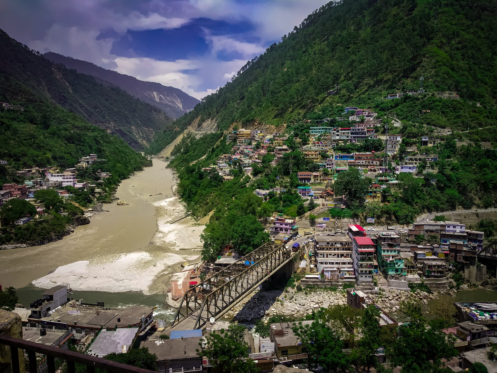
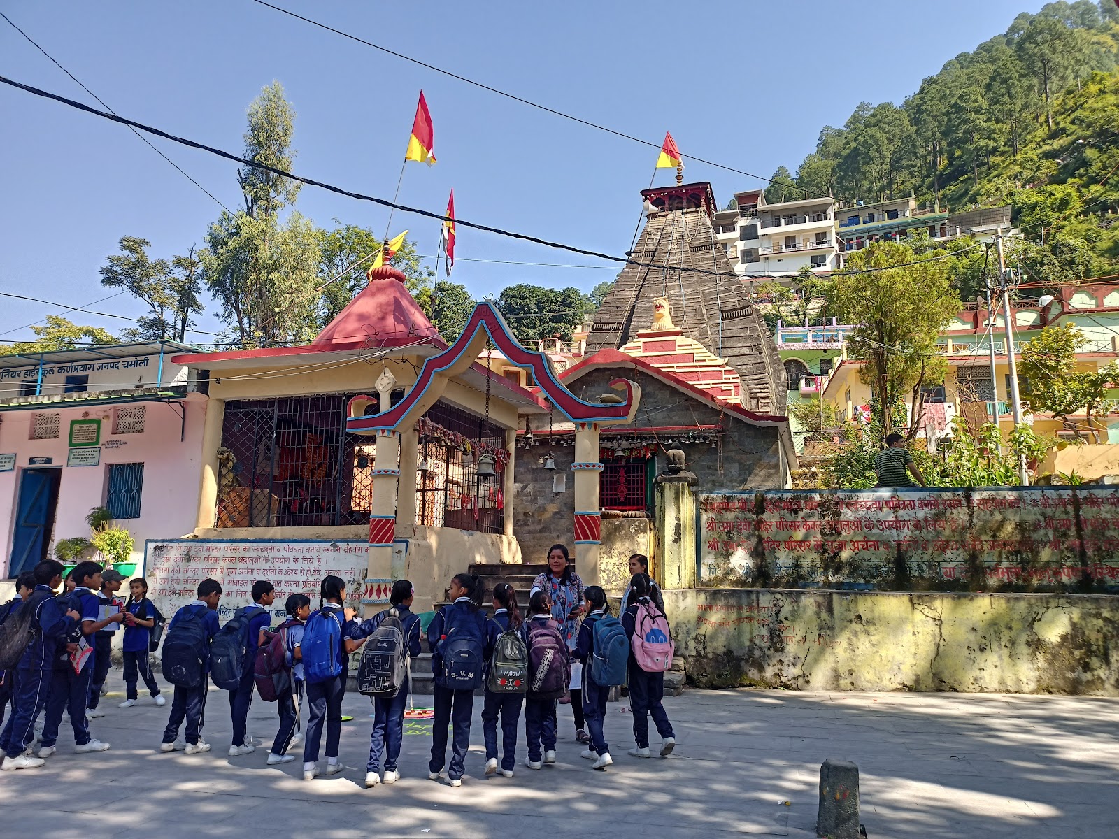
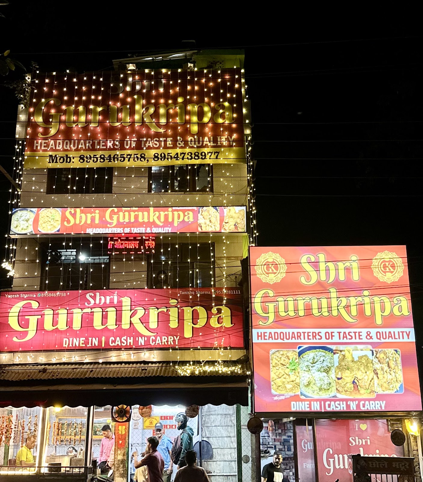
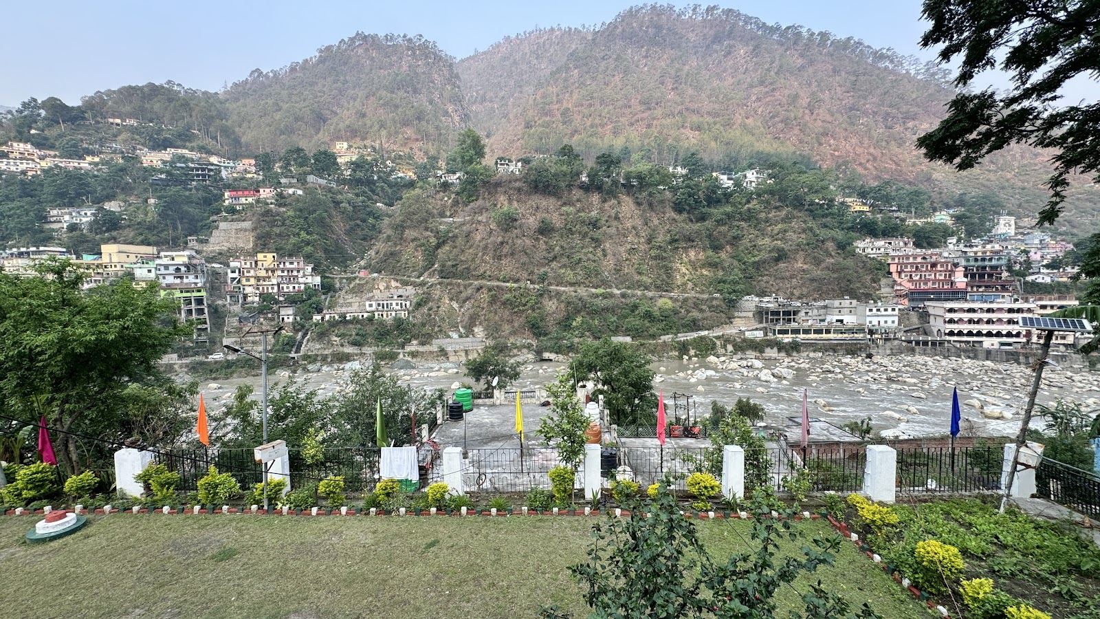
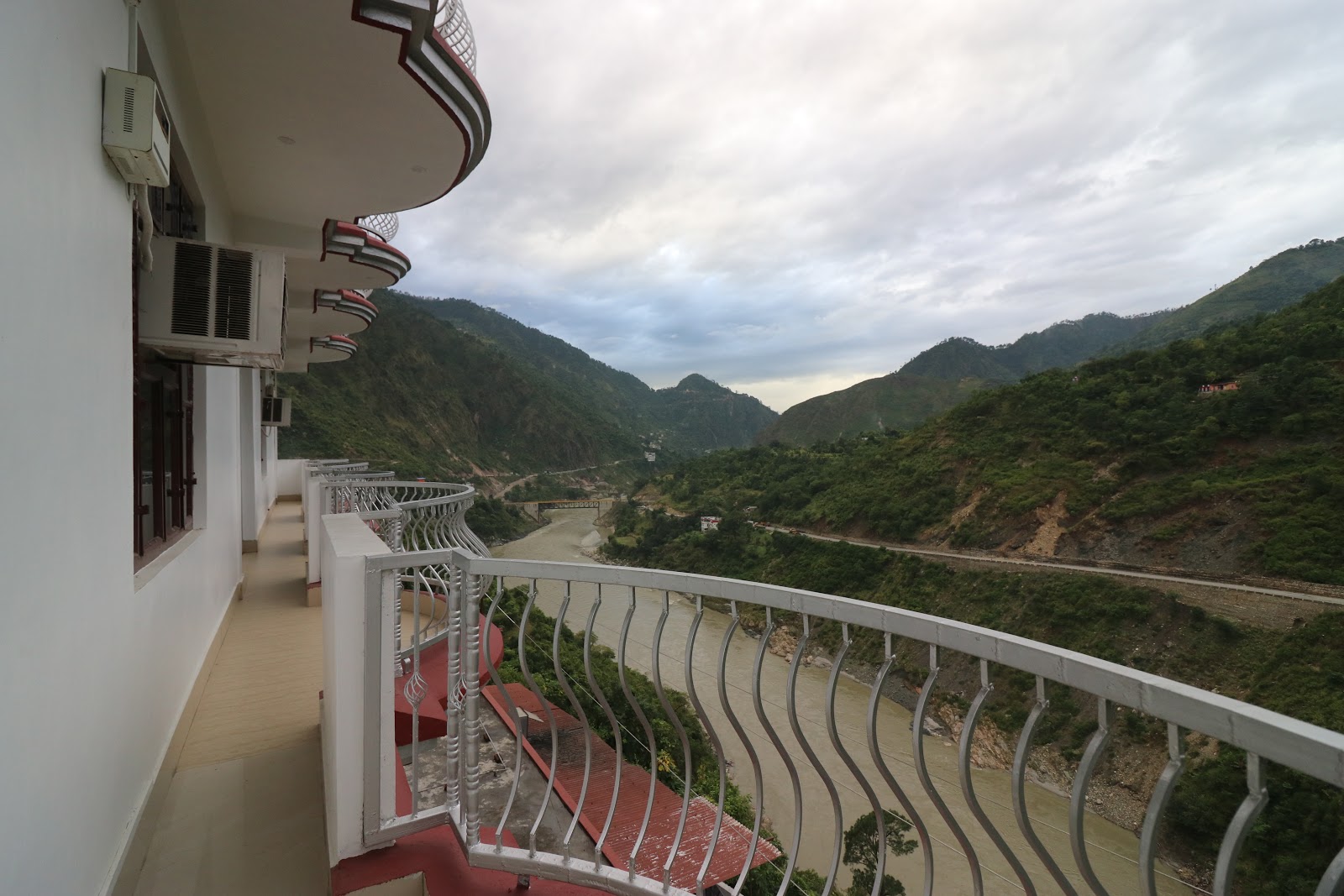
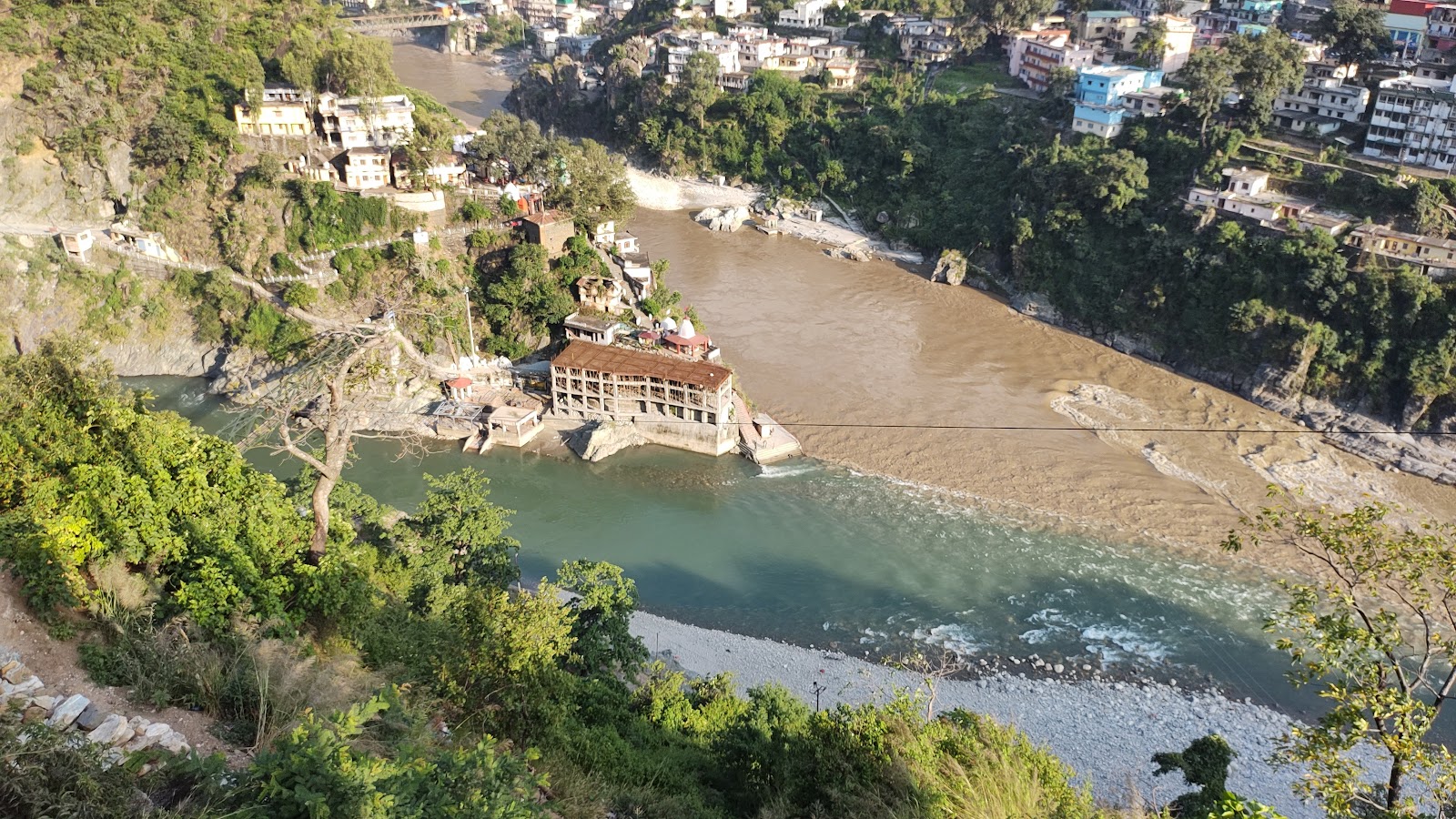
Karnaprayag is a sacred town and a significant confluence (Prayag) of the Alaknanda and Pindar rivers in the Chamoli district of Uttarakhand, India. It is one of the Panch Prayag (five confluences) and holds immense religious significance in Hinduism. The town serves as an important transit point for pilgrims traveling to Badrinath and Kedarnath.
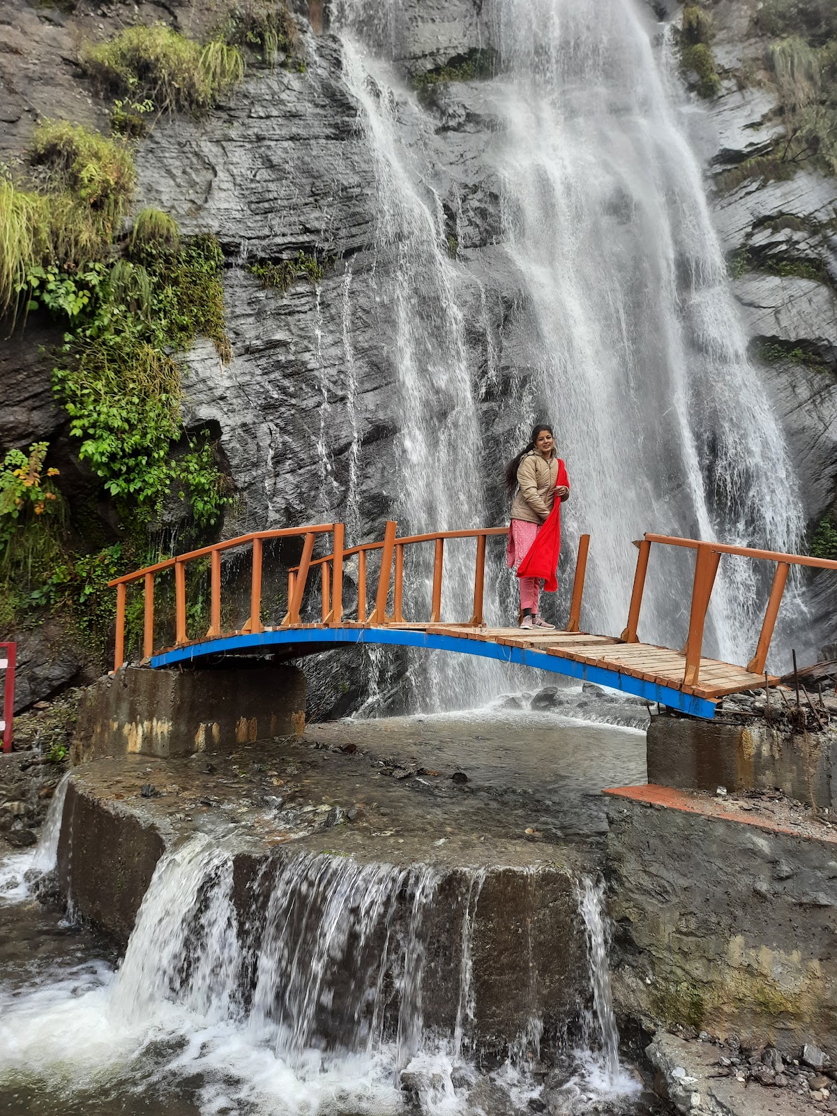
The best time to visit Karnaprayag is during the months of March to June and September to November. The weather during these periods is pleasant and ideal for sightseeing and outdoor activities. Avoid visiting during the monsoon season (July-August) due to heavy rainfall and potential landslides. Winter (December-February) can be very cold.
1 day 2 days
A trip to Karnaprayag typically requires 1-2 days. This allows sufficient time to explore the confluence, visit the temples, and enjoy the surrounding scenery. If you plan to trek or indulge in other activities, consider extending your stay.


The nearest airport is Jolly Grant Airport in Dehradun (approx. 190 km). From Dehradun, you can hire a taxi or take a bus to Karnaprayag.
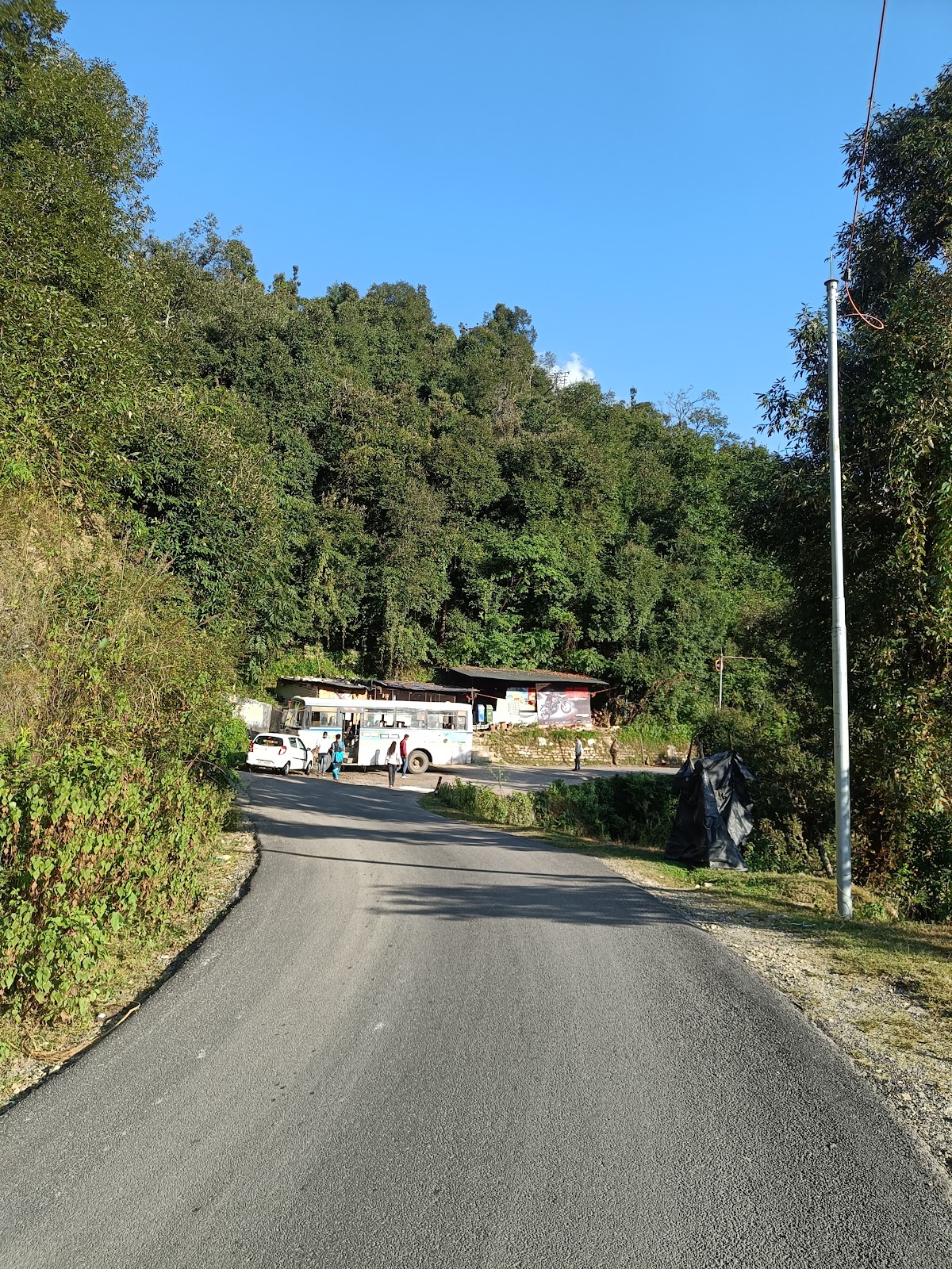
Karnaprayag is well-connected by road. You can hire a private car or taxi. NH58 passes through Karnaprayag.
Karnaprayag is well-connected by road to major cities in Uttarakhand and neighboring states. Regular buses and taxis are available from Rishikesh, Haridwar, and other towns. You can also hire a private car or taxi. NH58 passes through Karnaprayag.
The nearest railway station is Rishikesh (approx. 172 km). From Rishikesh, you can hire a taxi or take a bus to Karnaprayag.
Distance : 44 KM (approx)
Rating : 4.4
Popularity Score : 4.4
Must Visit : Narsingh Temple, Auli (for skiing, in winter).
Distance : 26 KM (approx)
Rating : 4.1
Popularity Score : 4.1
Must Visit : Rudraprayag Confluence, Koteshwar Temple.
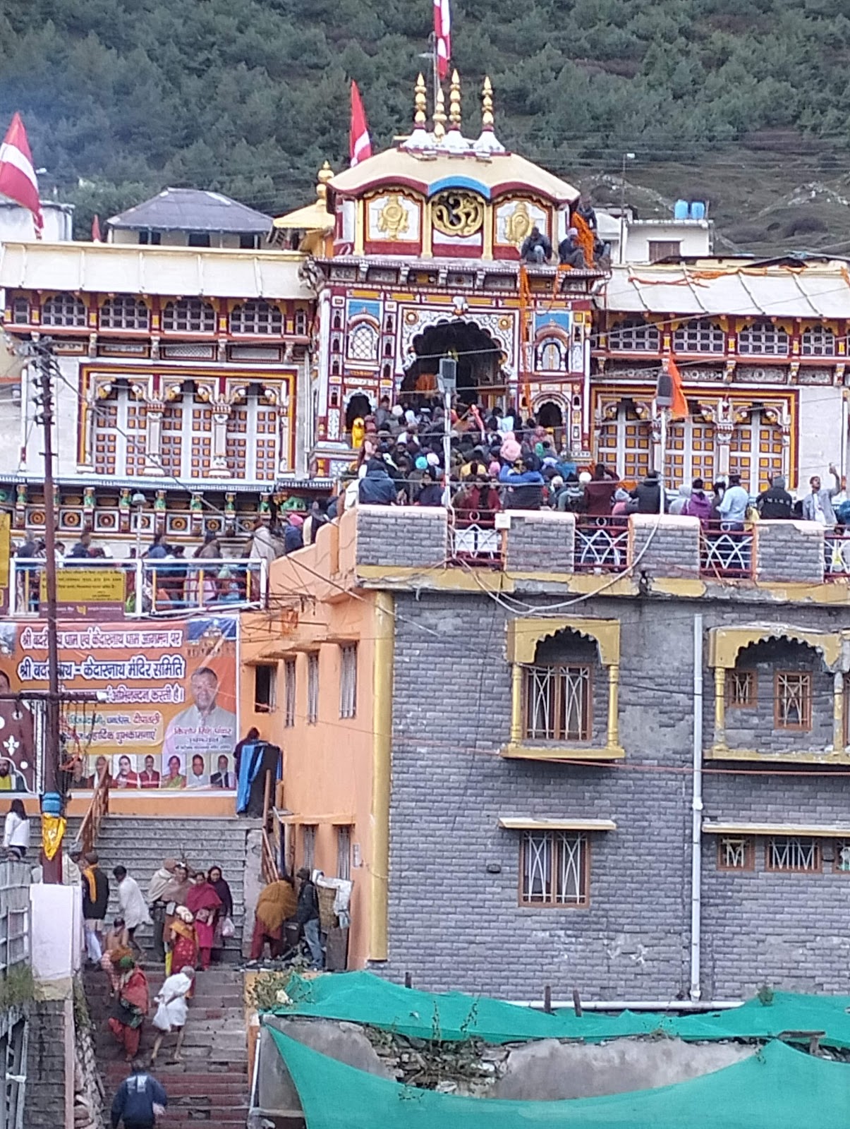
Distance : 58 KM (approx)
Rating : 4.6
Popularity Score : 4.6
Must Visit : Badrinath Temple, Tapt Kund
Coordinates: Latitude 30.2646, Longitude 79.2513 (Karnaprayag, Uttarakhand, India)